Projects
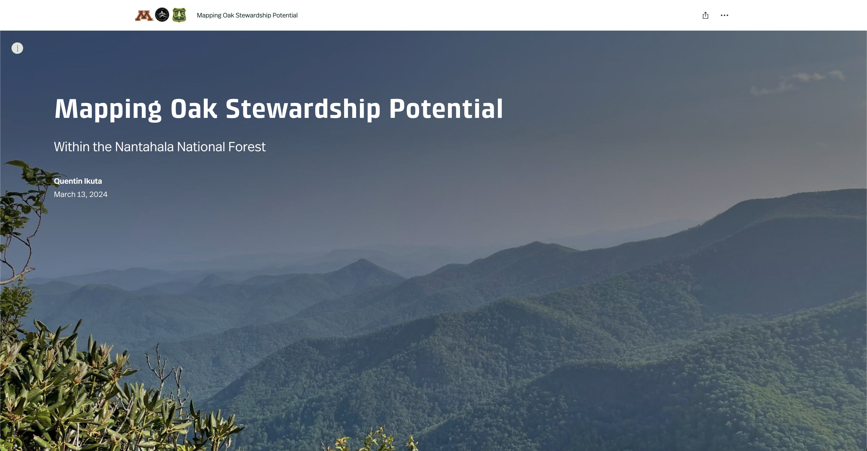
Masters Thesis ArcGIS StoryMap: Mapping Oak Stewardship Potential Within the Nantahala National Forest
 Project: My Masters of Science Thesis Summarized in an ArcGIS Online StoryMap. This project aims to spatially map the realized niche of 5 common oak species throughout the Nantahala Mountains within the Nantahala National Forest to inform management order-of-entry and to help prioritize oak-silvicultural systems across the landscape.
Click here to view the ArcGIS Online StoryMap
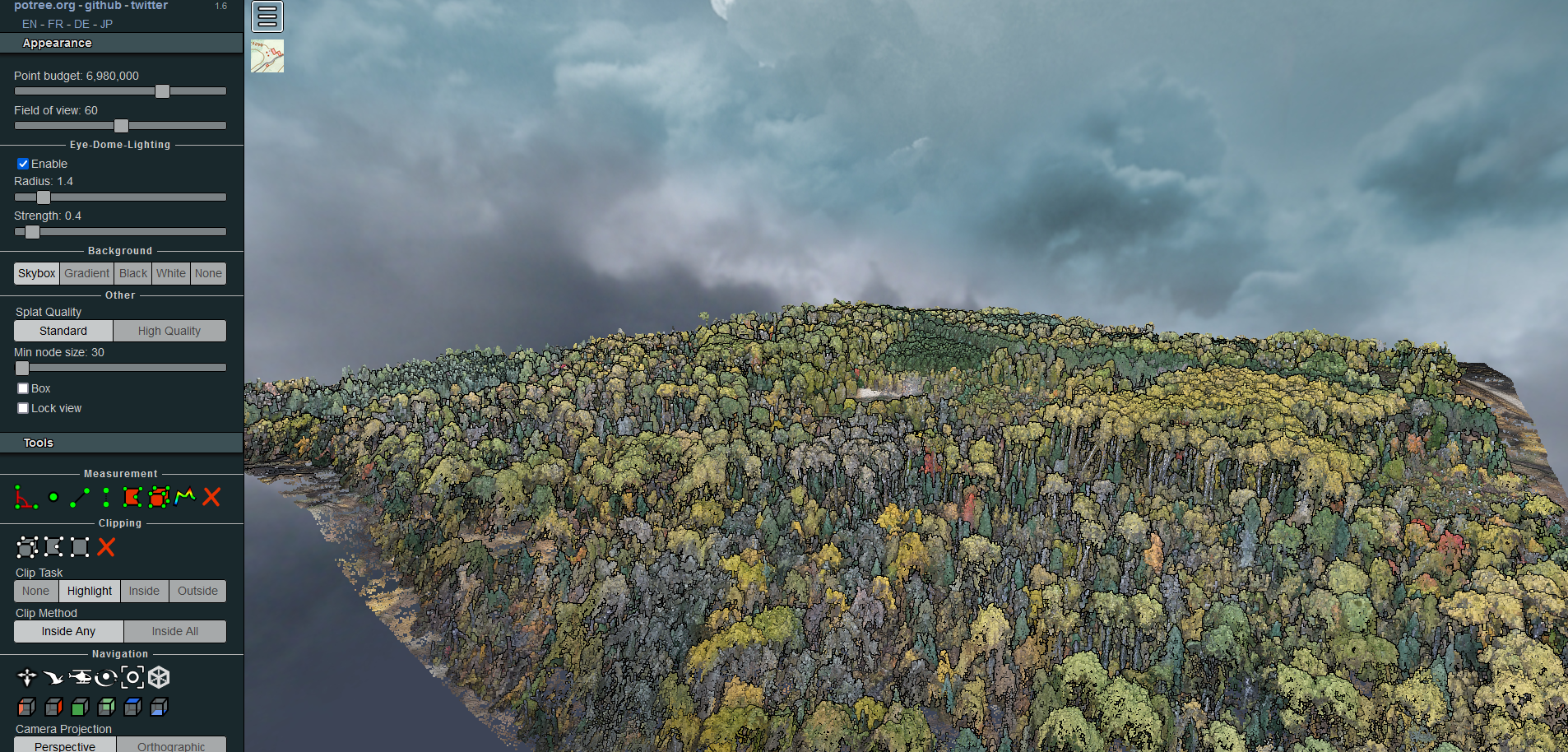
Photogrammetric Point Cloud Post-Processed with LAStools
 Project: Analysis and visualization of a photogrammetrically derived point cloud from a UAS mission in the arrowhead region of Minnesota. See the link below to access the potree viewer.
Potree Viewer
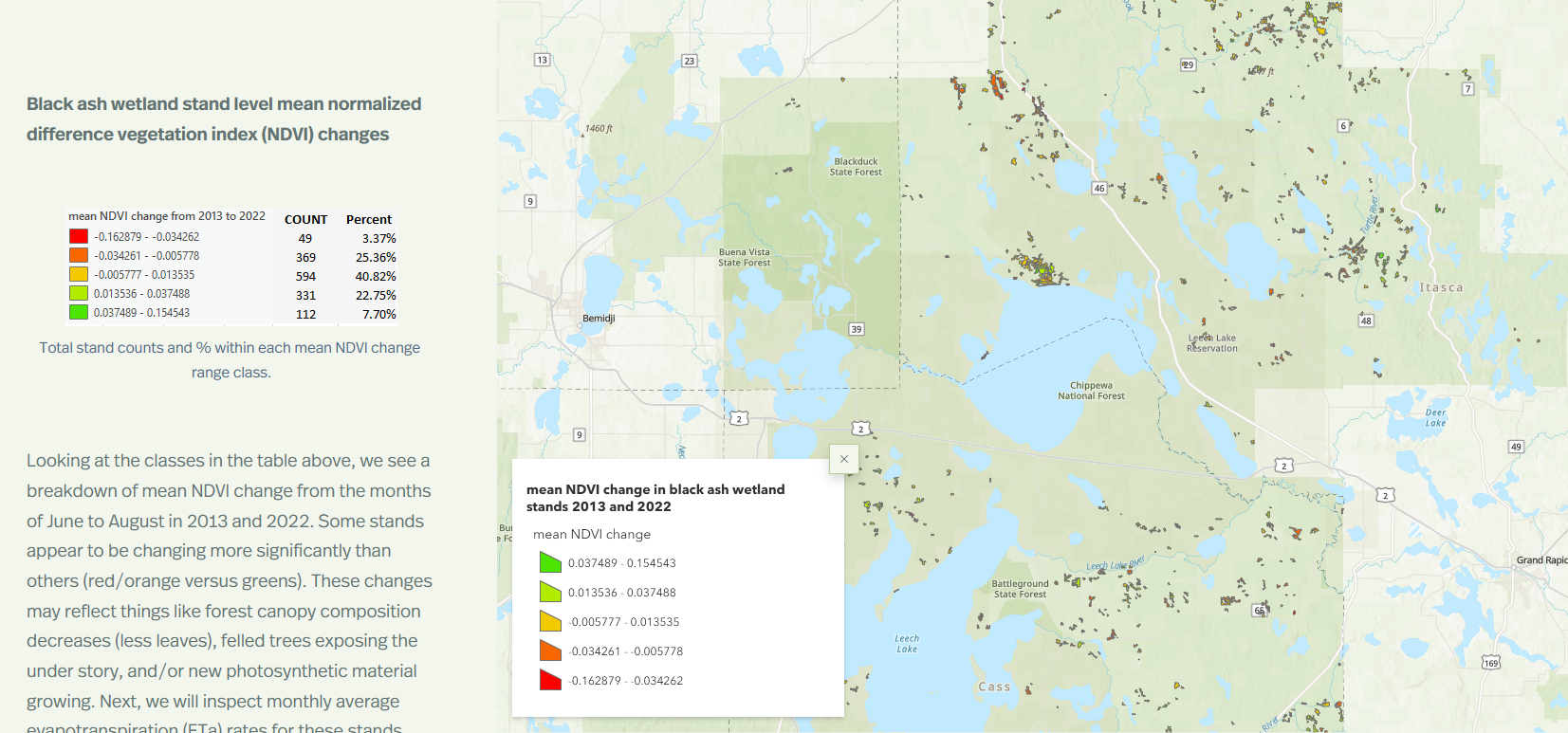
Black Ash Stand Monitoring on the Chippewa National Forest and Leech Lake Band of Ojibwe lands
 Project: A remote sensing project analyzing the health and spatial extent of black ash stands within the Chippewa National Forest and Leech Lake Band of Ojibwe lands.
Click here to view the ArcGIS Online StoryMap
Concentrated Animal Feeding Operations (CAFO) Runoff Analysis
 Project: Potential Contaminant Runoff Analysis from CAFOs in Martin County, Minnesota
Description: This project analyzed the potential runoff from 152 CAFOs in Martin County, MN. This county was chosen after a kernel density analysis was done for all of MN, Martin County had the highest concentration of CAFOs throughout the state. Findings included potential heavy contamination into Elm Creek, a tributary of the Blue Earth river, along with potential moderate contamination in 5 additional creeks/rivers. Additionally, A suitability analysis determined only 17 of 152 total CAFOs to be on suitable land (meaning land with a much lower chance of producing contaminated runoff). Main tools used included Python functions for calculating attributes, HEC-GeoHMS curve number analysis, and ArcGIS Pro. Almost all data for this project was obtained at https://gisdata.mn.gov/.
Challenges: The main challenge of this project was processing the data. I used various optimization workflows to streamline data proessing and eventually run the necessary geoprocessing without timing out or throwing an error.